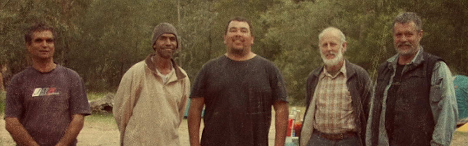
A survey of the Bundian Way commenced in August 2010 and the first on-ground work began on the Snowy River during October. The survey crew comprising Derek Davison, Warren Foster, Quentin Aldridge and John Blay were joined by Chris Allen (above, second from right) to assist with the wildlife side, especially in wildlife and Koala surveying. The crew’s membership worked ten days on, then four days off, and rotated from time to time.
Work started on the Snowy before continuing into Byadbo and across the Monaro to Twofold Bay, before coming to the High Country after the snow season. The process was completed in November 2011. The project then move into another phase, namely providing the evidence in order to achieve heritage listing for the route. A public version of the survey report 2010-2011 is available.
The country round the Snowy River is about as wild and perilous as you can find anywhere. Amazingly enough, you don’t have to be a Man from the Snowy River to find your way through. The old pathway always somehow manages to follow the easiest route
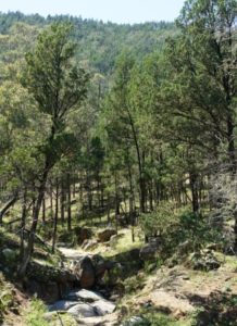
Scenes from the cypress White Box country. At one point an early settler fence still stands beside the pathway. It is said to date from the days of Ben Boyd during the 1840s.
The pathway through Byadbo Wilderness was unexpectedly well defined, given that old cattlemen were shown the route and have used it since the days of first settlement. It was recorded by Surveyor Townsend in 1842 when he was shown the way by Aboriginal guides along the way from Omeo.
Yamfields are evident throughout the district during springtime. Early Nancies are a feature on the grasslands of Merambego, where flocks of Emus still roam.